Field notes: the hedge that grew an acre onto the next farm's parcel
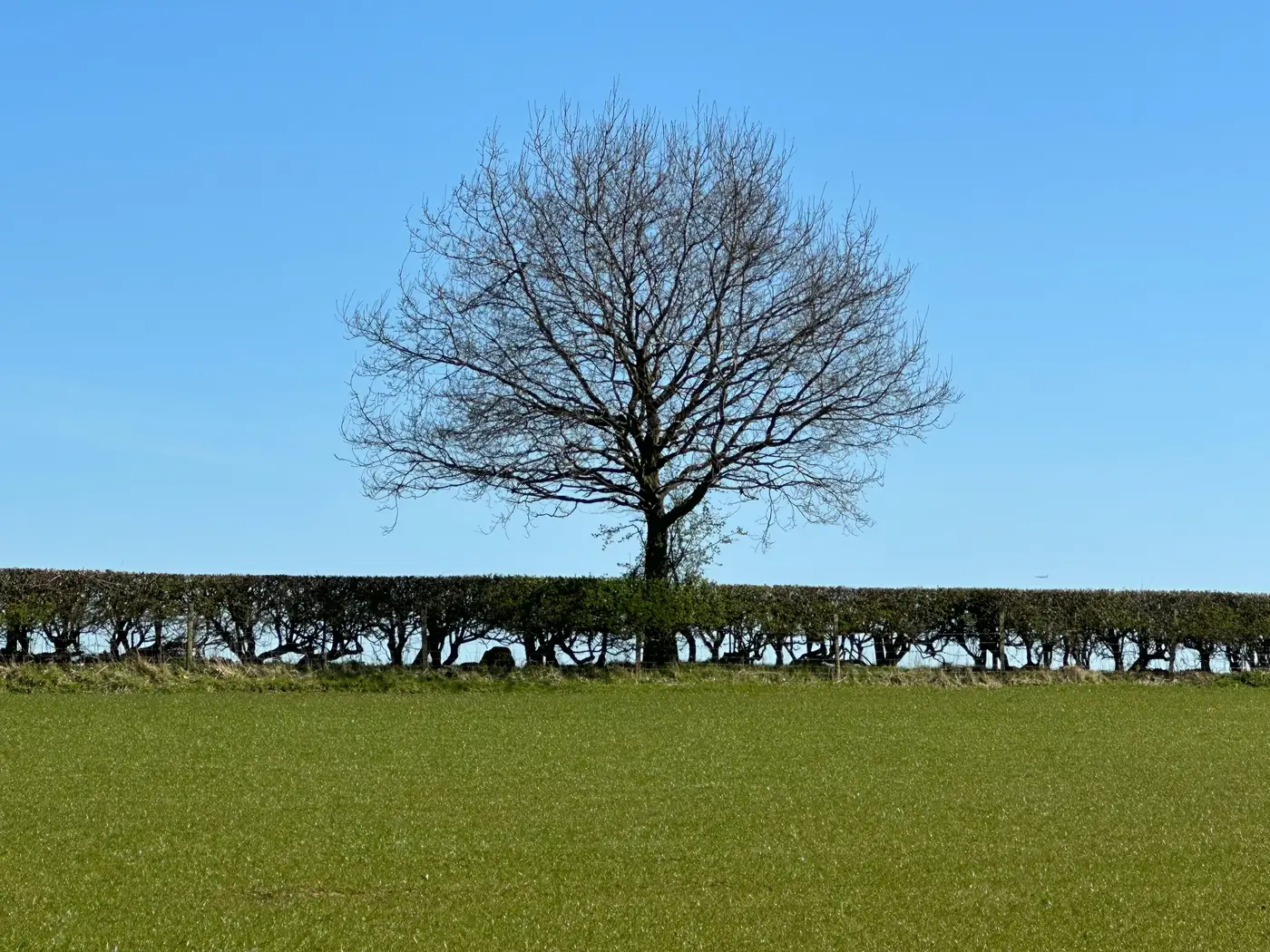
A caseworker in a county office I spoke with last spring had a dispute file that made no sense on paper. Two neighboring claimants, same crop, same tenure length, and an overlap of just under an acre that had apparently appeared out of nowhere between one claim year and the next. No sale, no lease change, no survey. The parcel line in the registry hadn't moved at all. What had moved was the hedge.
Hedgerows are living boundaries, not fixed ones. They lean toward light and away from competition, drifting toward whichever side gets cut less aggressively, and over ten or twelve years a hedge that started dead-center on a boundary can walk a meter or two into the neighboring field, root by root, season by season. Nobody notices year to year. It's the kind of change that's invisible at ground level and only shows up when you stack imagery across a decade and watch the green line crawl.
The digitised boundary in the registry, meanwhile, had been drawn once, years earlier, by someone tracing the hedge as it stood that day, and then left alone. That's normal. Redigitising every parcel in a county by hand every year isn't something any GIS team has the headcount for, so boundaries get drawn once and trusted for a long time.
The problem is that cultivated-parcel edges aren't fixed geometry the way a cadastral survey line is supposed to be. The visible edge of tillage, the actual working boundary a farmer claims against, moves with vegetation, with drainage, with who plows the headland a little wider this year. Over time the paper boundary and the farmed boundary stop agreeing with each other, and nobody's lying. The map is just old.
Going back through archived high-res imagery and watching the hedge line year over year is what made the case solvable, not a site visit. The drift was gradual and consistent, a slow lean in one direction, nothing dramatic, which is exactly why it had gone unflagged for so long. Once you see it plotted out across the full run of imagery, the overlap stops looking like fraud or error and starts looking like exactly what it is: a boundary that needed redrawing three or four years before anyone redrew it.
This is the part of the job that doesn't make it into the training materials. Everyone talks about keeping registries current, but "current" usually means current for new parcels, new splits, new leases, the stuff that generates paperwork. Nobody files paperwork when a hedge grows. The boundaries most likely to drift silently are the oldest, most stable-looking ones on the map, because those are the ones nobody has had a reason to touch since the original survey.
At the scale a county-level registry runs at, more site visits aren't the answer. A parcel layer that gets refreshed on a schedule against current imagery, the same way you'd refresh a soil map or a flood layer, catches that drift before it's a decade old; one drawn once and inherited forever won't. Field Boundary Map exists for exactly that gap: you give us a region and a reference year, and you get back a vectorised parcel boundary layer, drawn from current imagery, edit-ready for whatever registry software you're already running. It won't tell you who's right in a dispute that's already on file. It will tell you, every year, where the cultivated edge actually sits, so the next decade's worth of slow-growing disputes gets caught at the first meter instead of the twelfth.
The hedge in that county didn't do anything wrong. It just grew the way hedges grow. The registry's job is to notice, and notice on a schedule.