The year our parcel count went up and no new land was planted
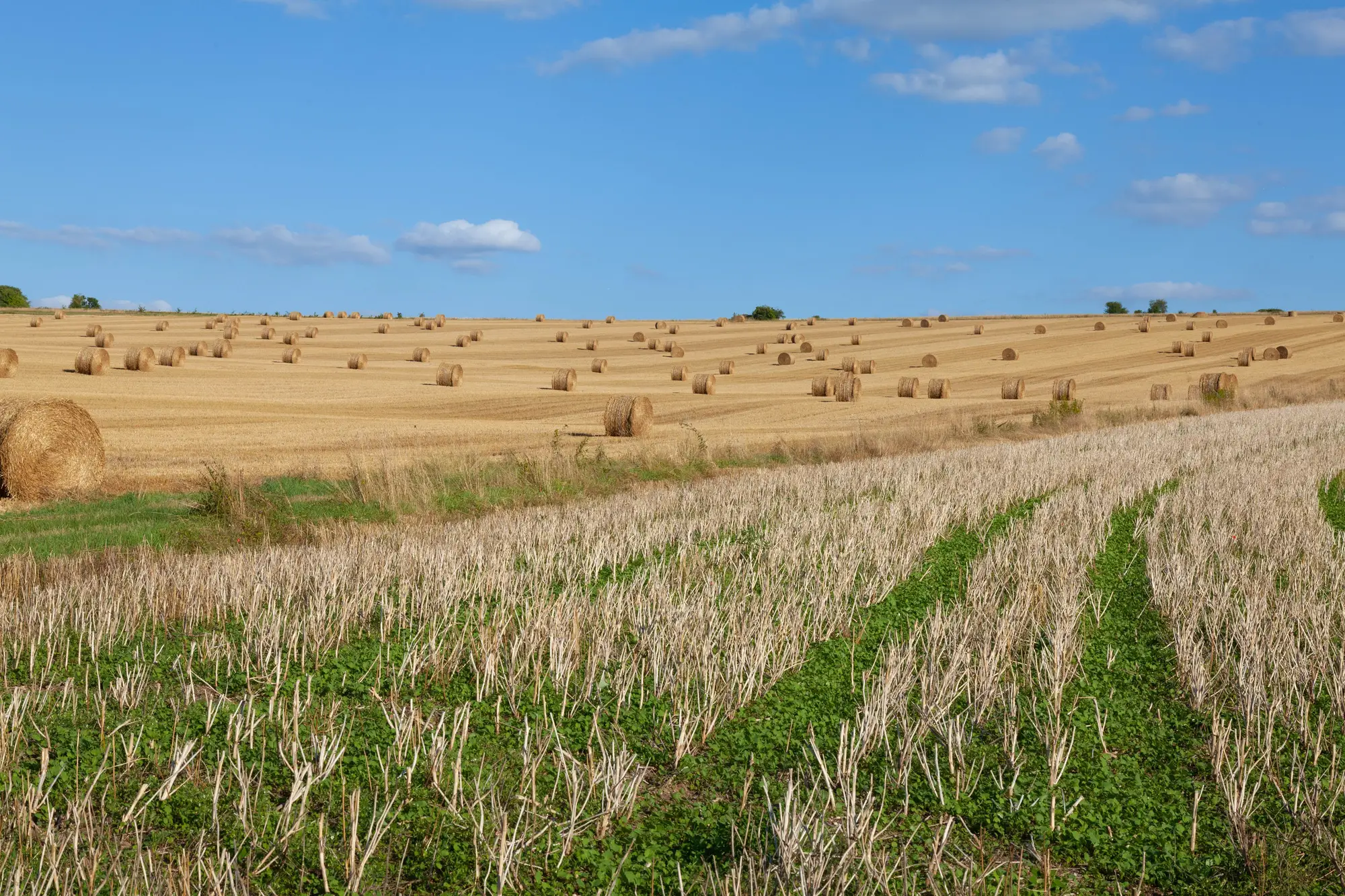
Somewhere around the third quarter, one of our registry leads flagged something odd in the annual reconciliation. Total cultivated area for the district was flat, give or take rounding. Parcel count was up nine percent. Nobody had cleared new ground. Nobody had drained a wetland or pulled out a hedgerow to make room for another field. The land was exactly the same land it had been the year before.
What had changed was ownership, and specifically what happens to ownership when the person who held it dies.
Inheritance splits are the quiet driver of parcel fragmentation, and they don't show up as a line item anywhere until someone goes looking. A forty-hectare block farmed as one unit for two generations gets divided three ways among siblings at probate. Each heir keeps farming their third as part of the same rotation, same crop, same field edge they've always driven past. From the tractor seat nothing is different. In the registry, one parcel just became three, each with its own folio number, its own boundary that technically needs to exist somewhere other than in the old deed's description of "the eastern third, more or less."
That "more or less" is the part that keeps GIS staff up at night. A lot of these splits were never surveyed to a modern standard. The original division might be a paragraph in a will, or a sketch a notary drew decades ago, or a verbal agreement between brothers that's now a registry entry because someone finally needs a clean title to get a loan against their share. The boundary has to go in somewhere, and more often than not it's drawn by eye, against an old aerial, by whoever has the digitising queue that week.
Multiply that across a few hundred inheritance cases in a given cycle and you get the thing we saw: a registry growing in parcel count while the actual cultivated footprint hasn't moved an inch. This is ordinary inheritance working its way through the paperwork. Land passing through a family shows up as fragmentation in the records long before it ever shows up as a change in land use.
The reason it matters for subsidy administration is straightforward enough. Payment calculations, cross-compliance checks and eligibility reviews all run against whatever boundary is on file. If three new polygons replace one old one and the sum of their areas drifts even a little from the parent parcel, that drift gets inherited (no pun intended) by every payment calculation downstream. Lenders run into a cousin version of the same issue: collateral described against a boundary that was last verified before the split happened gets harder to value with confidence.
What we've started doing, where the budget allows it, is treating inheritance-driven fragmentation as a trigger for a fresh boundary pull rather than a manual edit of the old one. Rather than having a technician eyeball where the split line probably falls based on the will's description, pull a current high-resolution image of the full parent parcel and let a machine-vectorised layer show the actual field boundaries as they're farmed today, cross-hedge, access track, drainage line and all. Then match the heirs' shares against what's actually on the ground instead of what a document from 1998 implies.
It won't stop families from splitting land. It won't make probate faster. But it does mean the registry's parcel count can climb for the right reason, actual subdivision, without each new polygon being a slightly-off guess that compounds every year it goes unchecked. If your reconciliation report has started showing the same pattern, a clean boundary layer pulled straight from recent imagery, the kind described on Field Boundary Map's landing page, is worth a look before the next cycle locks it in.
Next time your area totals won't tie out to your parcel counts, it's worth asking whether anyone died this year, not whether anyone planted anything.