What causes parcel boundary drift between survey years
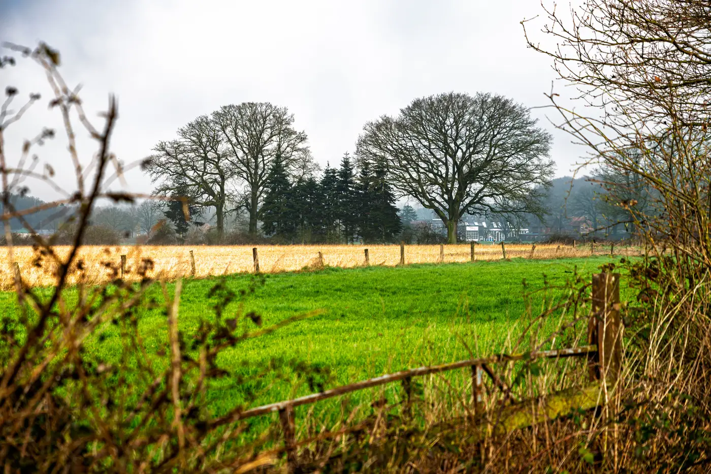
If you've laid last year's parcel layer over this year's orthophoto and watched a field edge jump two meters north, you've run into the question every registry team eventually asks: is that real, or is that noise?
Boundary drift between survey years comes from a handful of sources, and they don't all mean the same thing for your records.
Where the shift actually comes from
Ortho-rectification differences. Each year's imagery gets rectified against its own ground control, and the fit is never bit-for-bit identical to last year's. A tile that's well-controlled near a GCP can still carry a half-pixel to full-pixel wobble out toward the edge of the frame. Stack two years of ortho and that wobble alone can read as a shifted field edge, especially on long, straight boundaries where a small rotation at one end becomes a visible gap at the other.
Resolution and sensor changes. If this year's pass came in at a different ground sample distance than last year's, or from a different platform, the edge you're snapping to simply looks different. A 2 m pixel smears a fence line into a wider, softer transition than a 0.5 m pixel does. Two digitisers tracing the same real boundary at two resolutions will not land on the same vertex.
Digitiser judgment. Manual tracing is not a repeatable process. One technician snaps to the outer edge of the tree line shadow, another snaps to the base of the trunks. One treats a grassed headland as inside the parcel, the next treats it as outside. None of this gets logged, so five years of annual digitising can quietly wander a boundary several meters without anyone changing the rule on purpose.
Real change on the ground. Plows widen a field by a pass or two each season. Hedgerows get grubbed out or grow outward. Drainage ditches get recut. A watercourse buffer moves because the channel moved. This is genuine field edge shift year over year, and it's the kind of drift a registry should capture, because the cultivated area actually changed.
Datum and coordinate system handling. Less common now, but still a factor if historical layers were digitised against an older datum or a different projection and reprojected later. The error here tends to be small and uniform across a whole tile rather than concentrated on one edge, which is one way to tell it apart from the other causes.
Telling drift apart in an orthophoto comparison
Pull both years' ortho side by side, or flicker between them, and look at the actual cultivated edge, not the old polygon line. A crop line, fence, or tree row that's genuinely moved means real change, and the new boundary belongs in the registry. A ground feature that sits in the same place in both images while the polygon vertex has moved is digitising or rectification noise. Carrying that noise into a subsidy claim or a lending file just propagates the error forward.
A few things narrow this down fast:
- Check whether the shift is uniform across the whole tile (points to rectification or datum) or localized to one boundary (points to real change or a single digitiser's call).
- Compare against NIR if you have it. Crop vigor at the true edge often shows up more sharply in near-infrared than in RGB, which helps separate the planted edge from a mowed or faded margin that looks similar in true color.
- Look for the shift direction. Real cultivation encroachment tends to move one way, outward into margin or buffer. A rectification artifact doesn't have a consistent direction across a region.
None of this is solvable by eyeballing harder once you're doing it across a few thousand parcels a year. That's the actual workload behind "just compare the two orthophotos," and it's why a lot of registry teams end up re-tracing boundaries from imagery every cycle instead of trusting the diff.
If your team is still re-digitising edges by hand every renewal to settle exactly this question, it's worth looking at how Field Boundary Map turns a region and a reference year into a ready-to-edit polygon layer instead of a fresh round of manual tracing.
A clean annual layer built the same way every year is the simplest fix for drift nobody can explain.