What is a parcel identifier? PIDs in a land registry explained
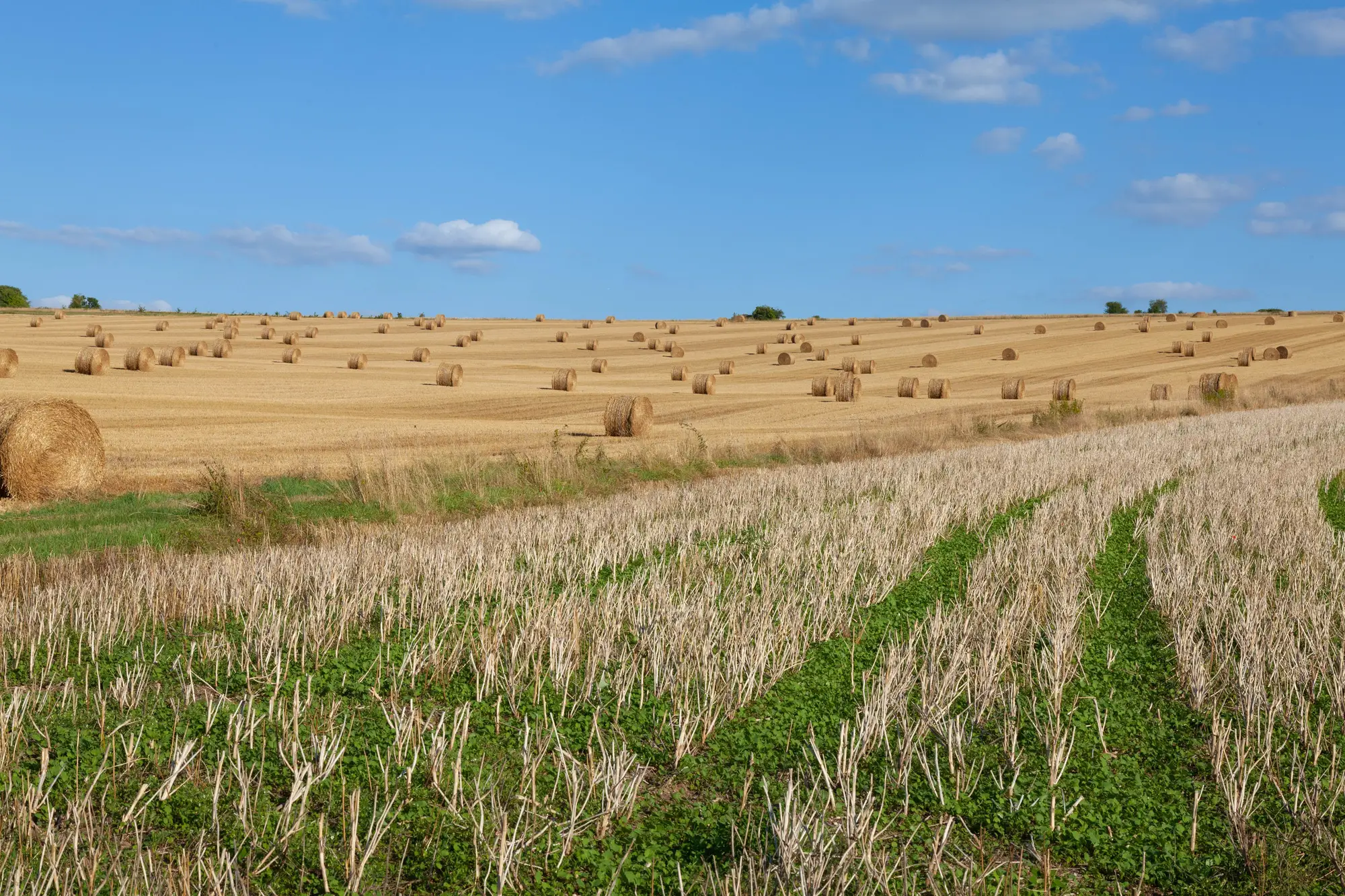
A parcel identifier, usually shortened to PID, is the one string of characters that ties a piece of land to a single record in your registry. Names change. Owners sell, die, divorce, incorporate. Boundaries get re-surveyed and renumbered. The PID is supposed to be the thing that doesn't move: the key every other table in the system, ownership, tax roll, subsidy claim, mortgage lien, joins back to.
If you've ever had to explain to an auditor why a payment went to the wrong field, you already know what happens when that key is missing or duplicated. The rest of this is really just that problem, worked backward.
What the number represents
A unique parcel number is a reference, not a description. It points to one geometry and one record, so the tax office, the paying agency, and the bank's collateral file all cite that same string instead of re-describing the crop, soil class, or current farmer in prose each time.
That's why a PID has to be unique within its jurisdiction and stable over time. A county or municipality can reuse a street address if a building is torn down and rebuilt. It can't reuse a parcel number for a different piece of ground without breaking every historical record that cites the old one. Split a 40-hectare block into three parcels and the registry either retires the old PID and issues three new ones, or appends suffixes to it, depending on the jurisdiction's convention. Either way, the history has to trace forward.
Format varies by country and sometimes by county within the same country. Some registries use a flat sequential number assigned at first registration. Others encode the cadastral structure directly into the string: country code, then region, then block, then lot, so the PID itself tells a trained reader roughly where the parcel sits before anyone opens a map. US assessor's parcel numbers (APNs) often look like 14-digit strings broken into book, page, and parcel. Some EU cadastres build the PID from administrative unit code plus sequential parcel number within that unit. There's no single global standard, which is exactly why you can't guess a PID from an address and shouldn't try.
Where a PID has to be more than a number
A parcel number without a geometry attached is half a record. The PID answers "which parcel is this," but a paying agency or a lender also needs to answer "what shape is it and how many hectares." That's the boundary polygon, and it has to be keyed to the same PID so the two never drift apart.
This matters most when boundaries change and the number doesn't keep up. A field gets split for inheritance, a drainage ditch gets straightened, a farmer buys out the neighbor's strip, and the registry's polygon layer is still showing last decade's lines under the same identifier. The PID is technically correct and the geometry under it is wrong, which is worse than an obvious gap because nothing in the system flags it. Subsidy claims get paid against stale area figures. Loan collateral gets valued against a boundary that no longer exists on the ground.
Keeping that polygon layer current used to mean sending someone out to walk the boundary, or having a digitiser trace it screen by screen off aerial photos, parcel by parcel, for a whole registry. That's the bottleneck. Field Boundary Map machine-vectorises cultivated-parcel boundaries from high-resolution satellite imagery and hands back an edit-ready polygon layer, with area, for the region and reference year you specify, so the geometry under each PID gets refreshed annually instead of waiting on a field crew's schedule. You can see what that layer looks like straight from the source imagery.
A quick way to tell if your PIDs are doing their job
Pull any parcel from the registry and ask two questions. Does the PID uniquely resolve to one geometry and no other. Does that geometry match what's under cultivation right now, not five years ago. If both hold, the identifier system is working. A shaky answer on the second question points to a boundary data problem, worth fixing before the next subsidy cycle or loan review flags the mismatch for you.
If your registry's boundaries are the part that's gone stale, that's the gap Field Boundary Map was built to close.